- South-Western Arizona History (4/29/2017)
We have been in south-western Arizona for the past month. Arizona has many historic locations.
While we were in Yuma we visited the Yuma Quartermaster Depot State Historic Park. At this location supplies (food, clothing, ammunition) was stored for US Army forts in the Southwest.
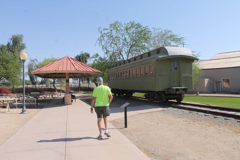
Quartermaster Depot 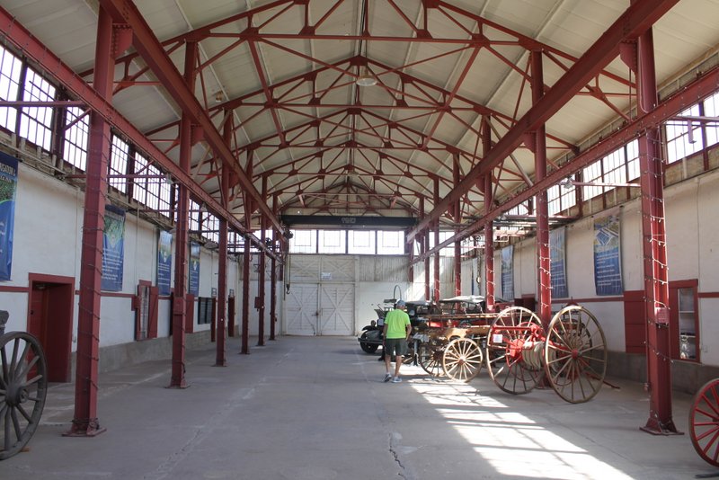
Quartermaster Depos 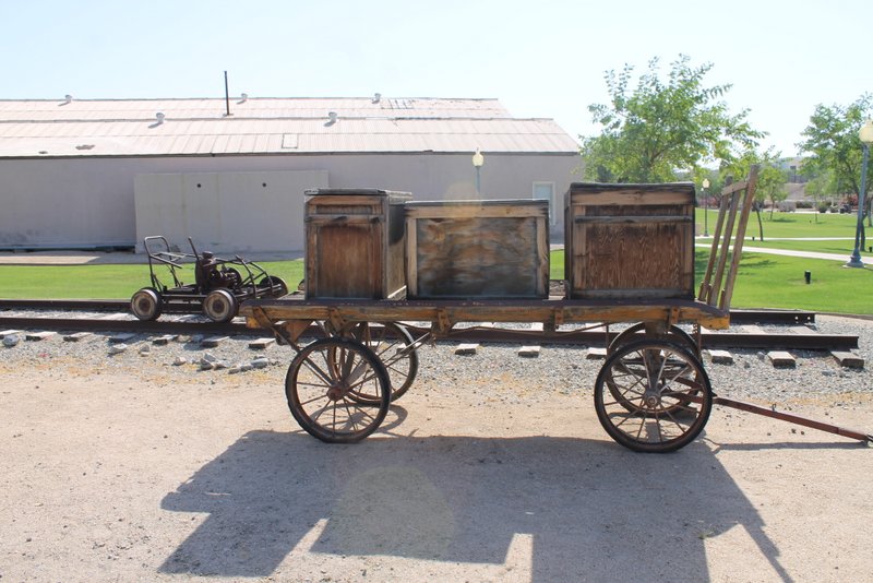
Quartermaster Depot Yuma is also the location of historic Yuma Territorial Prison. All the Arizona bad guys in the late 1800s were jailed at this prison.
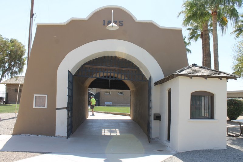
Yuma Territorial Prison 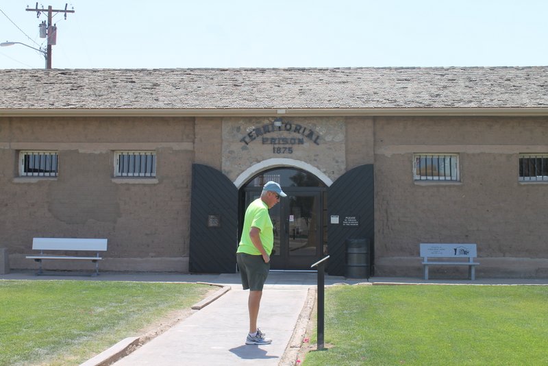
Yuma Territorial Prison 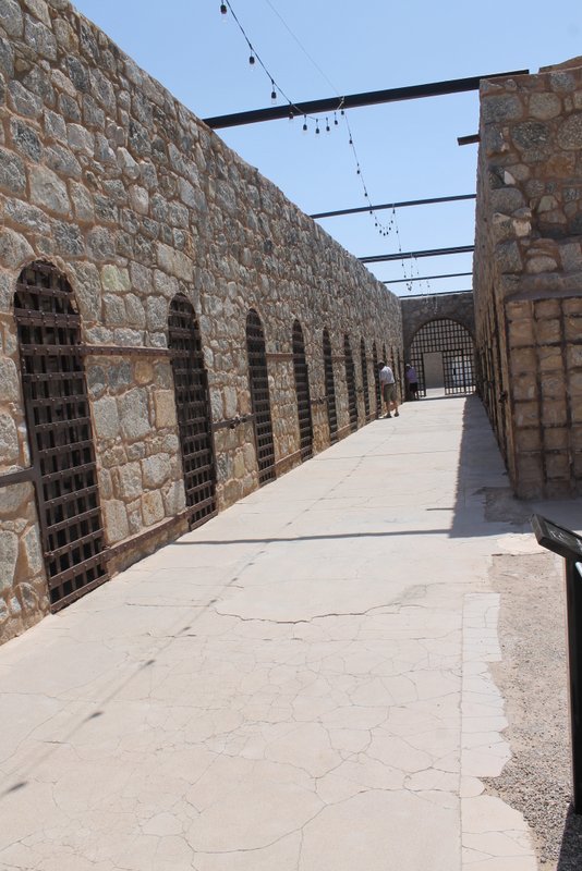
Yuma Territorial Prison 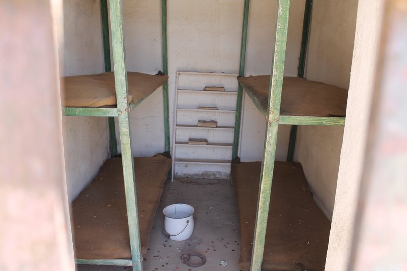
Yuma Territorial Prison 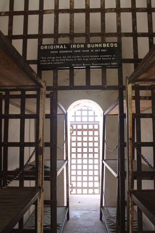
Yuma Territorial Prison Tombstone Arizona was one of the Wild West boom towns. Silver mines allowed the town to grow and prosper during the late 1800s. It was also the location of the famous gunfight at the OK Corral.
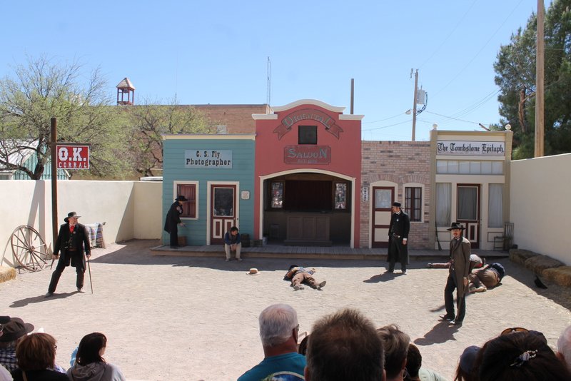
OK Corral Gunfight Re-enactment 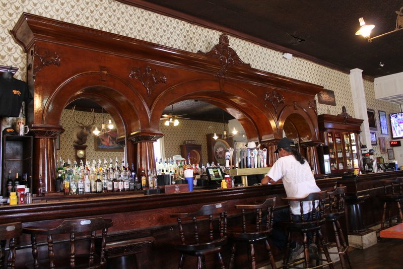
Crystal Palace in Tombstone 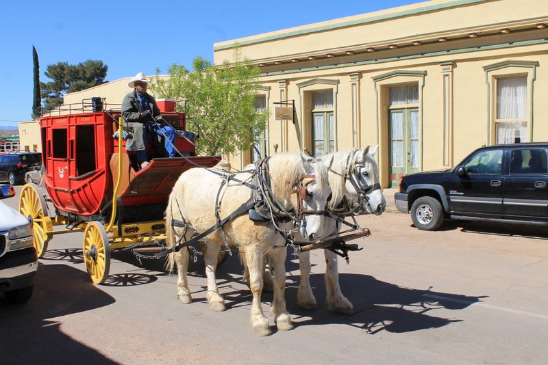
Tombstone In 1958 Robert McCulloch (of McCulloch chainsaws) purchased a bunch of land on the shore of Lake Havasu along Pittsburgh Point. This area became Lake Havasu City in 1963. Between 1968 and 1971 the London Bridge (actual bridge that crossed the Thames River in London) was disassembled, shipped to Arizona and re-assembled in Lake Havasu city. A canal was dug transforming the Pittsburgh Point peninsula into an island and the reconstructed bridge crosses that canal from the mainland to the island.
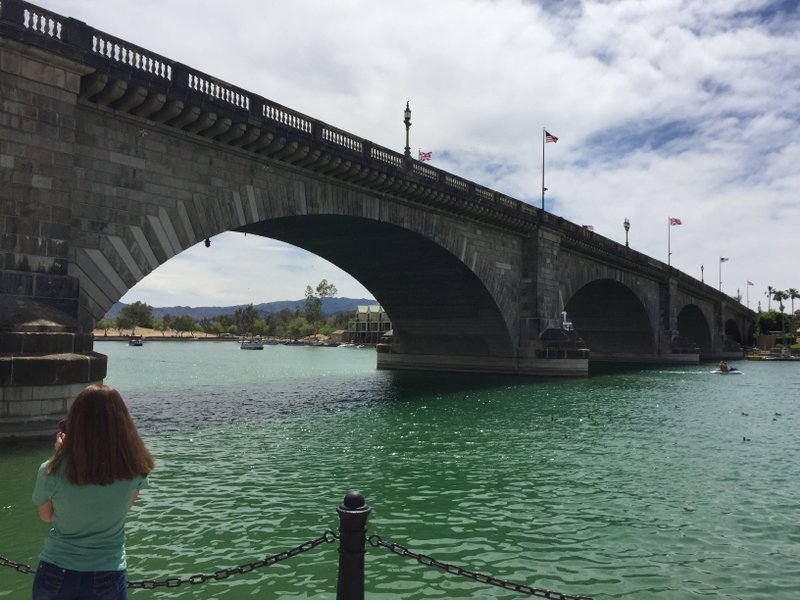
London Bridge Another part of Arizona history is historic route 66. Oatman, AZ is an old mining town on route 66. Due to the mining history of this area there are large numbers of wild burros, descendants of the burros that were used for mining operations.
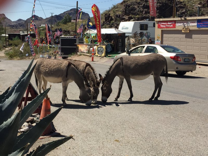
Wild Burros in Oatman 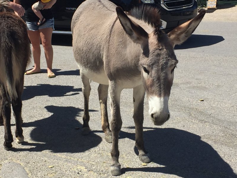
Burro in Oatman - Colorado River (4/29/2017)
While in Arizona we stayed in Yuma, Parker, and Lake Havasu City – all on the Colorado River. Below are some photos of the river.
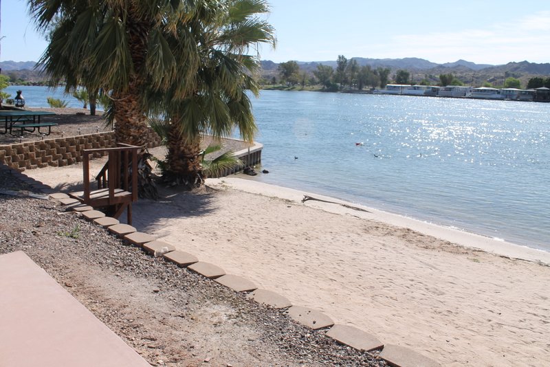
Beach at Sundance Campground in Earp, CA 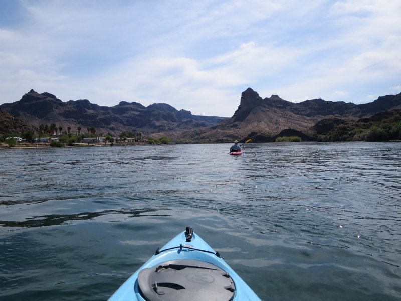
Kayaking on Colorado River in Parker 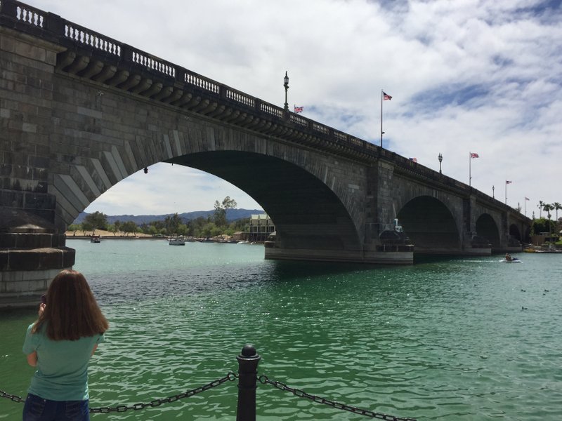
London Bridge at Lake Havasu on Colorado River 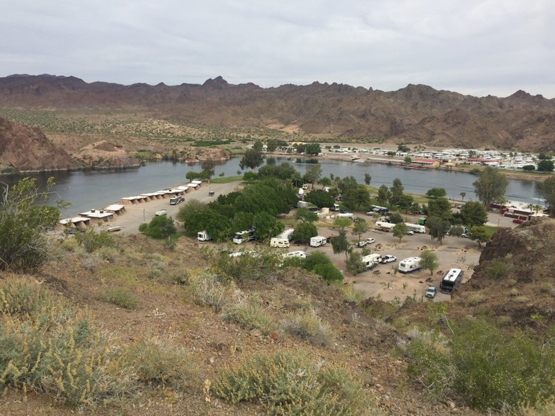
Colorado River at Buckskin Mountain State Park 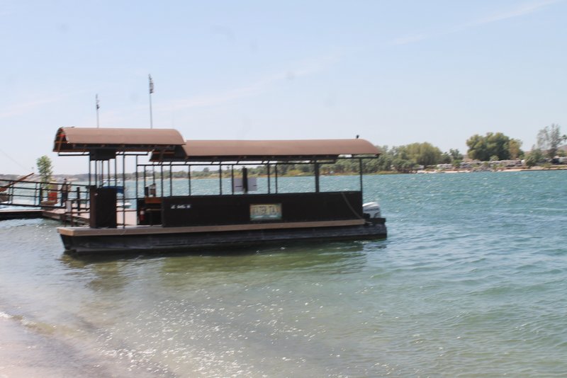
Shuttle that runs between campgrounds (Pirates Den in Parker, AZ and Sundance in Earp, CA) 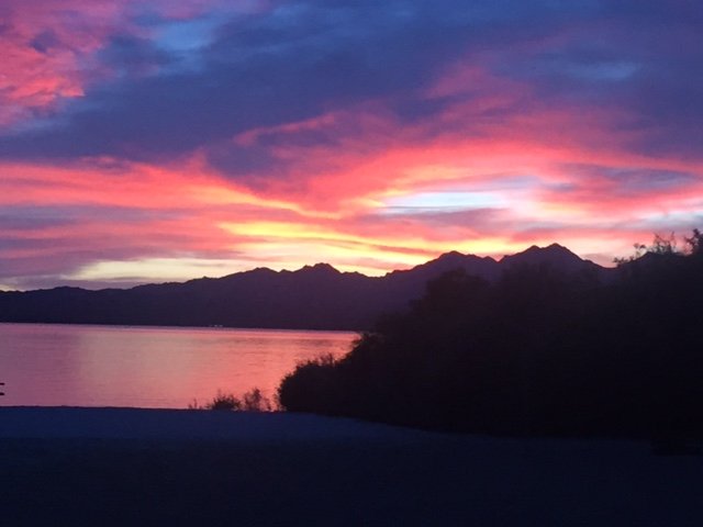
Sunset over Lake Havasu 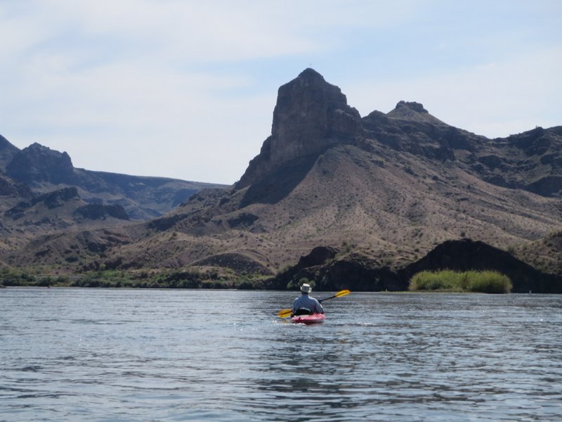
Kayaking in Parker 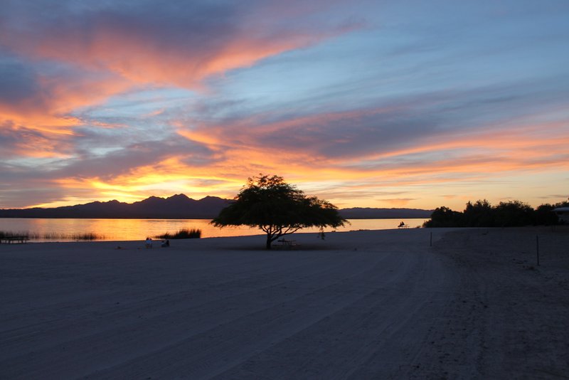
Sunset in Lake Havasu State Park - Grand Canyon (5/9/2017)
Last week we were in Grand Canyon National Park. It is an amazing a beautiful place.
We stayed at Trailer Village Campground in the park. A herd of elk wanders through daily.
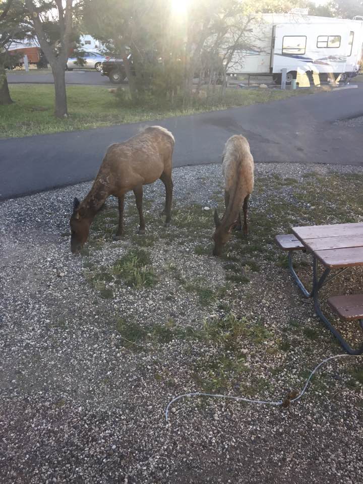
Elk in our campsite at Trailer Village We were visiting the south rim which has lots of historic locations to explore.
The Desert View Watchtower is at the east end of the park. The watchtower holds special interest for me because it was designed by Mary Colter. Mary Colter was one of the few female architects of the early 1900s. She designed many of the buildings in Grand Canyon. Most of her Grand Canyon buildings were designed in a Native American style.
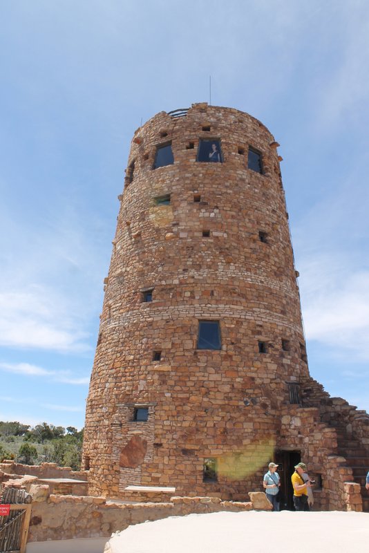
Desert View Watchtower 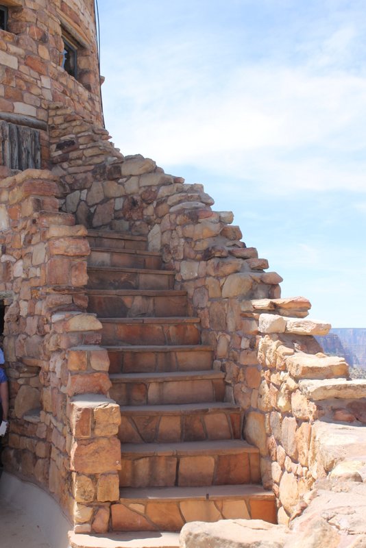
Desert View Watchtower 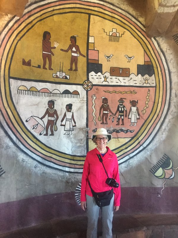
Petroglyph Mural in Desert View Watchtower 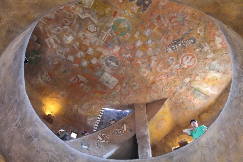
Ceiling Art in Desert View Watchtower 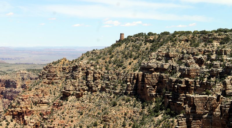
Desert View Watchtower From a Distance At the west end of the park is another Mary Colter building, Hermits Rest. This building is named for Louis Boucher who lived alone at that location for many years. It is designed to appear like natural stone, blending with the landscape.
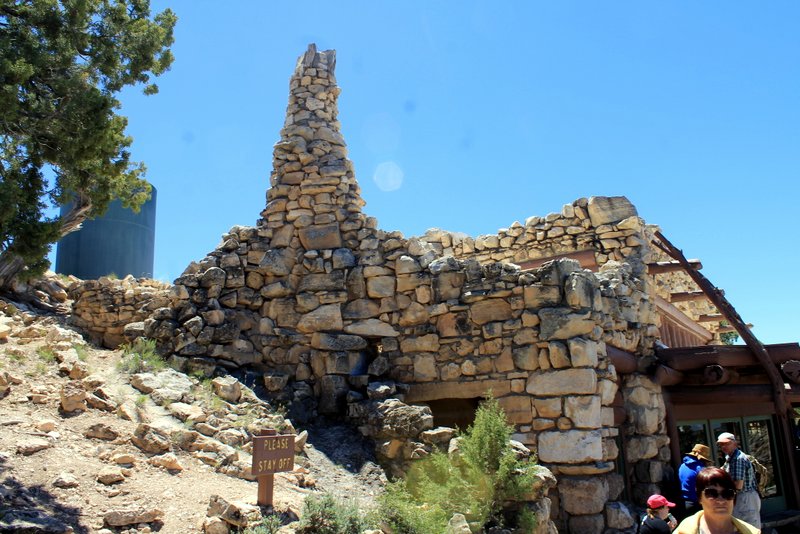
Hermits Rest 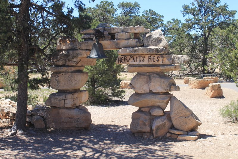
Stone Arch at Entrance to Hermits Rest Hopi House is another Mary Colter building in the Grand Canyon historic village. It is designed to resemble a Hopi Pueblo. It was built to market Native American Crafts to visitors staying at the nearby El Tovar Lodge.
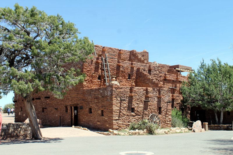
Hopi House The Kolb Brothers were adventurers and photographers who published many famous photos of Grand Canyon. Their studio was on the rim and was NOT designed by Mary Colter 🙂
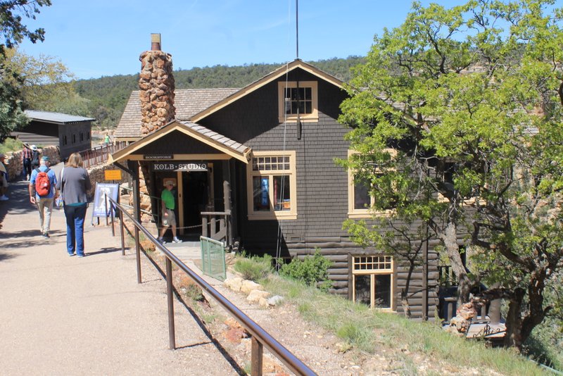
Kolb Studio And, of course, aside from the history and architecture there are magnificent views.
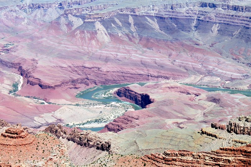
Colorado River in Grand Canyon 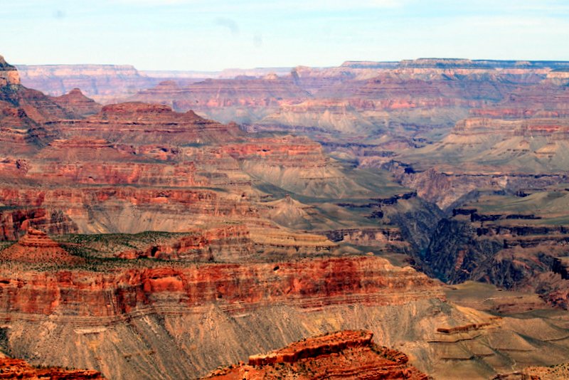
Wow!! 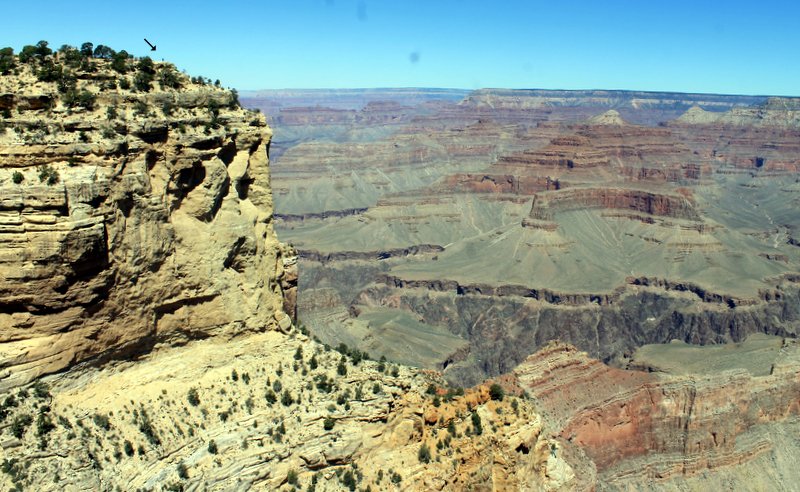
They say you should put people in photos of Grand Canyon for perspective. There are people in the upper left corner. 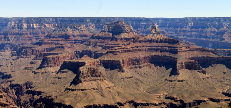
Grand Canyon - Glen Canyon / Lake Powell (5/10/2017)
We originally planned to visit Zion National Park after Grand Canyon but…. Even though Zion is only about 100 miles from Grand Canyon South Rim as the crow flies it is actually 275 via road (which is a good idea), and due to road restrictions our big motorhome was not able to take the shortest route. We would have had to go west to Las Vegas and then back into Bryce from the west side (well over 400 miles). So we made an executive decision and decided to skip Zion (we’ve been there before) and visit Lake Powell instead. We were at Lake Powell a few years ago and enjoyed it. It was good this time around also.
Lake Powell is part of the Colorado River that runs through Glen Canyon. It is held in by the Glen Canyon Dam. We stayed in Wahweap Campground in Glen Canyon National Recreation Area. The campground overlooks the lake.
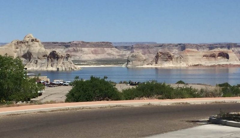
Lake Powell from Wahweap Campground One day we took a jeep ride through Cottonwood Canyon, a few miles north of the lake.
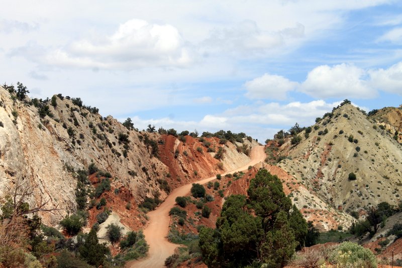
Jeep Road in Cottonwood Canyon Cottonwood Canyon has some spectacular scenery.
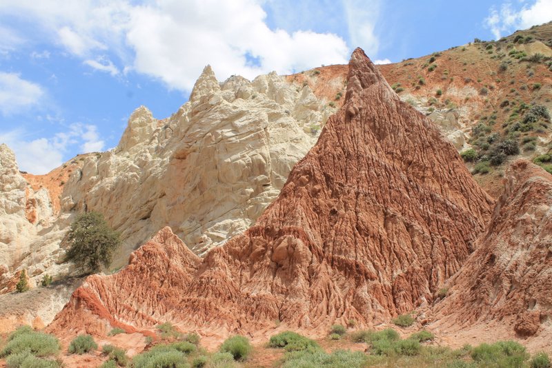
Cottonwood Canyon 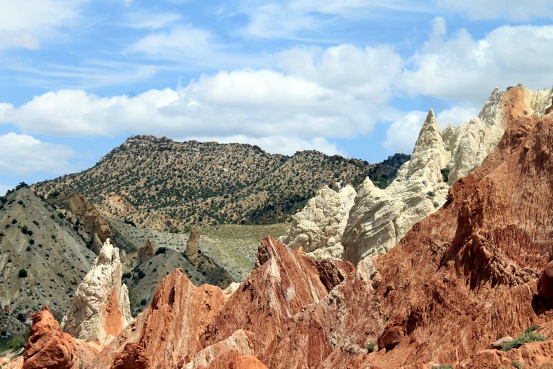
Cottonwood Canyon 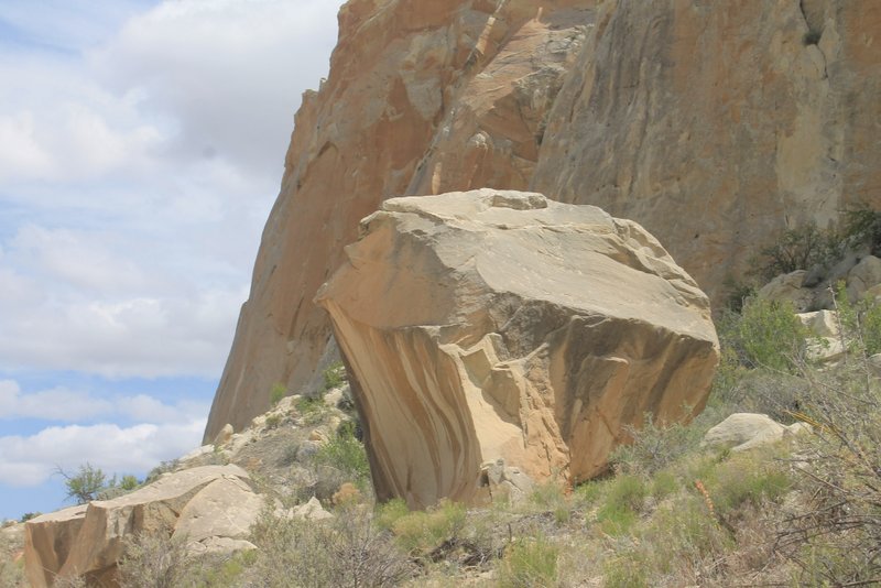
Rocks in Cottonwood Canyon 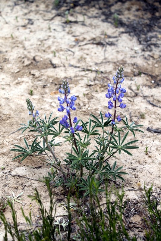
Flowers in Cottonwood Canyon 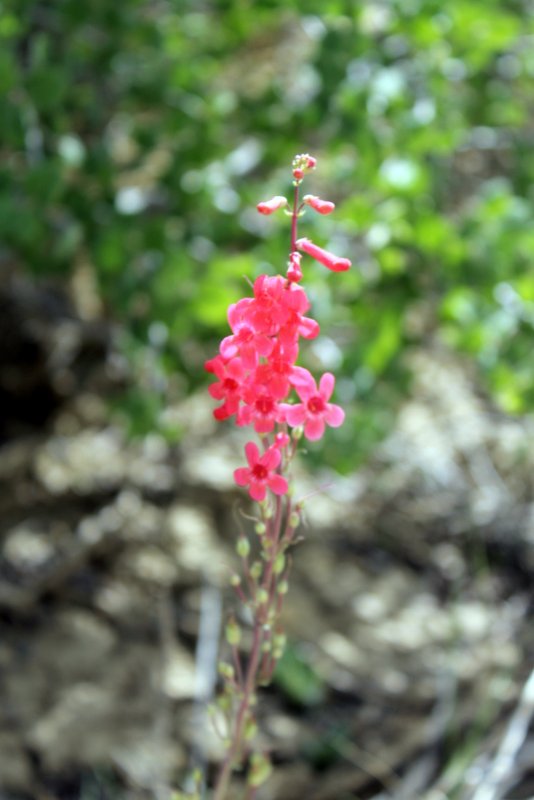
Flowers in Cottonwood Canyon Cottonwood Canyon runs through Bureau of Land Management (BLM) land which is often leased to ranchers and farmers. So we met some friends on the way.
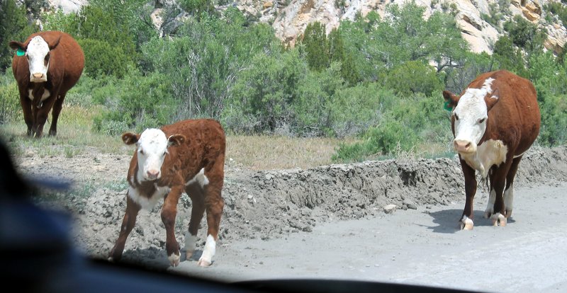
Cows in the road in Cottonwood Canyon Grosvenor Arch is a really cool double arch in the Canyon. It is named after Gilbert Grosvenor, a photojournalist who was an editor of National Geographic magazine and president of the National Geographic Society.
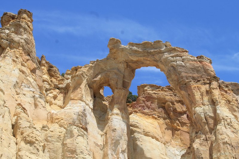
Grosvenor Arch The following day we took to the water in our kayaks.
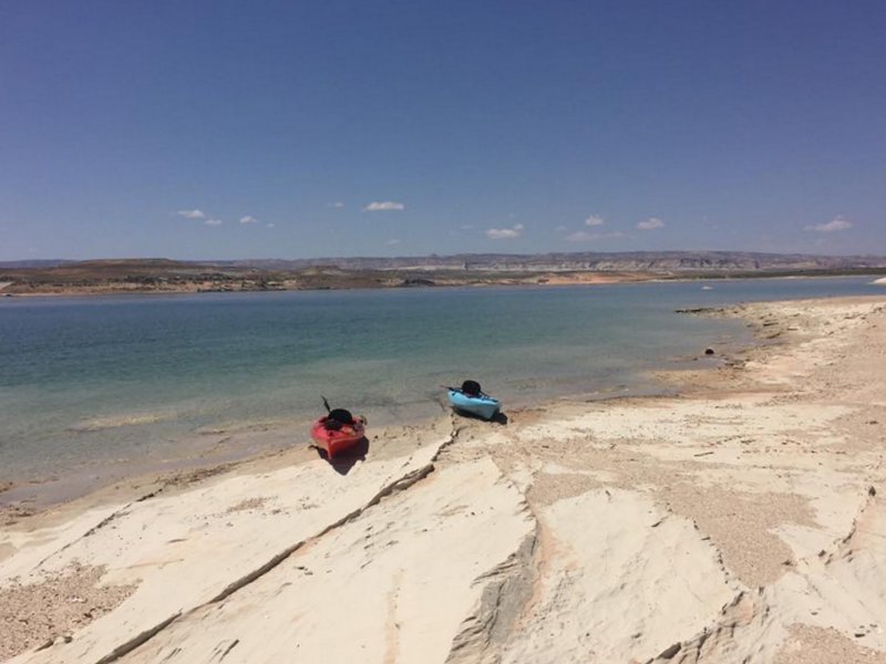
Kayaks on Lake Powell 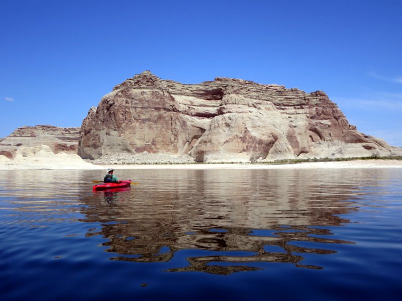
Lake Powell 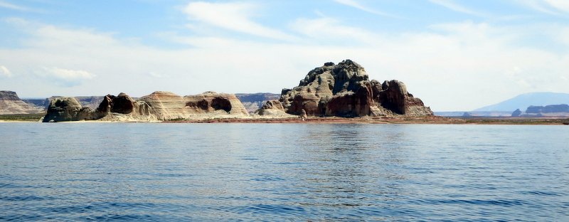
Lake Powell - Bryce Canyon (5/13/2017)
We left Bryce Canyon National Park this morning.
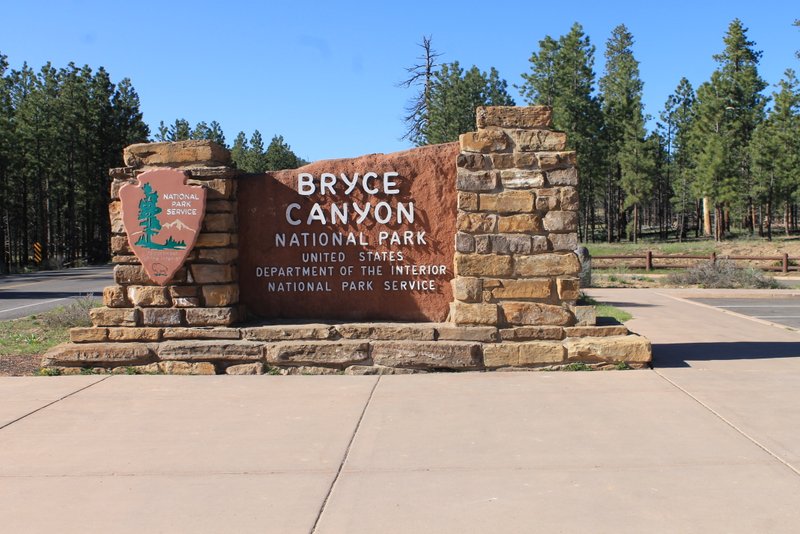
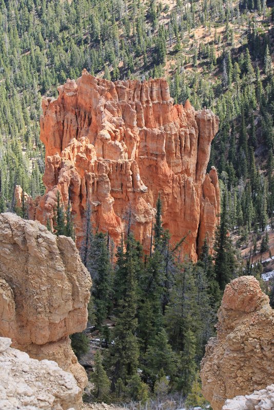
Bryce Canyon National Park I have seen a lot of breathtaking, beautiful places in the past few years but this is definitely on the top of my list. Bryce Canyon is actually not a canyon but rather the edge of the Paunsagunt Plateau.
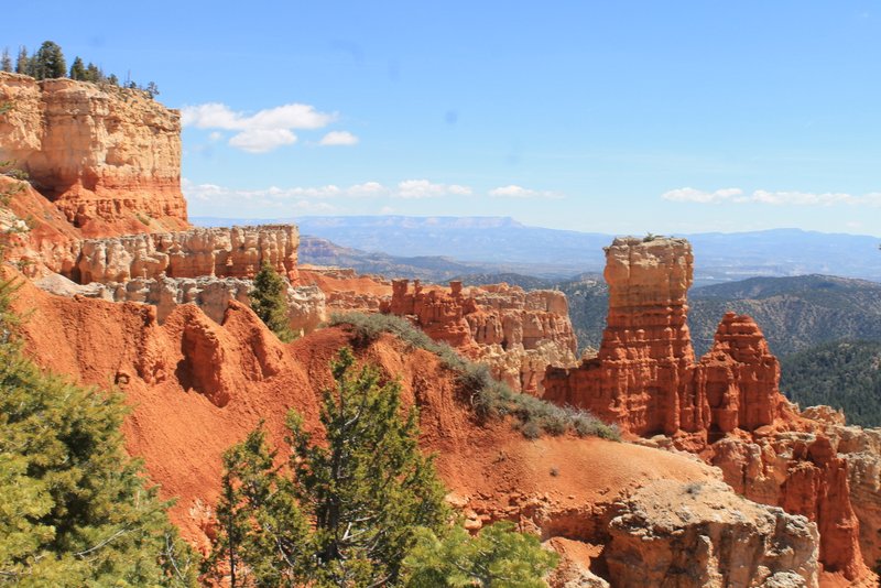
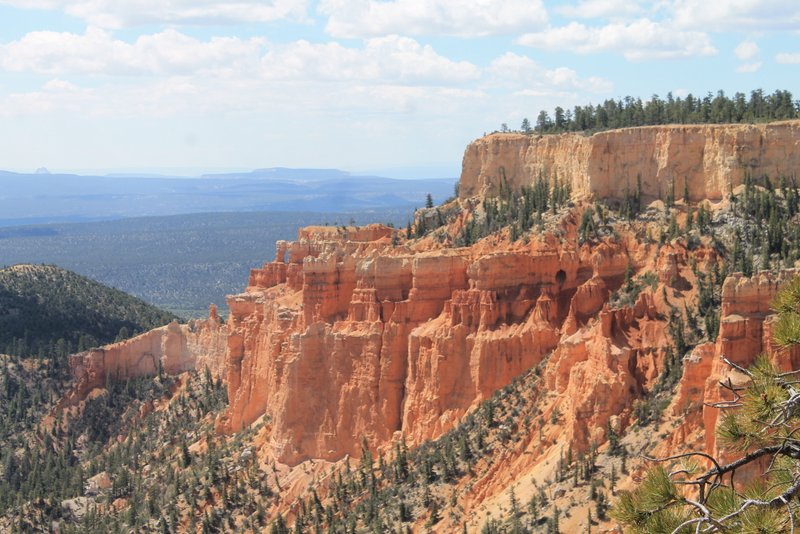
Bryce’s unusual appearance is due to geological structures called hoodoos that are red, orange and white in color. There is a Paiute Indian legend that says the hoodoos were once bad people that were turned to stone by a coyote. They are known as the Legend People.
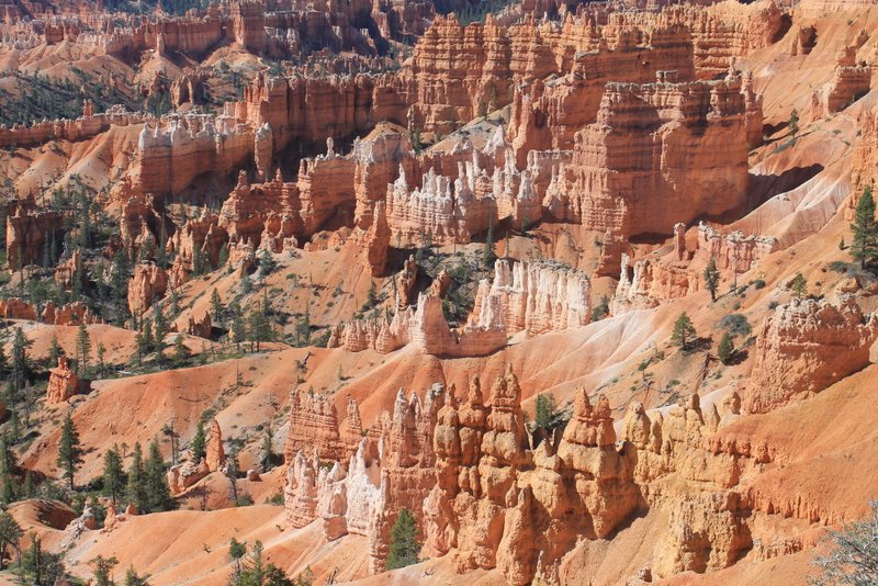
Legend People There are a few arches as well as hoodoos.
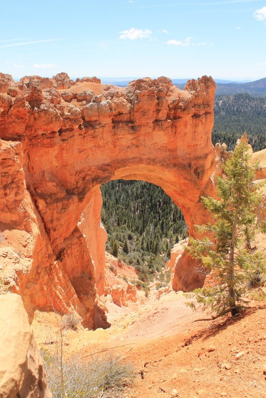
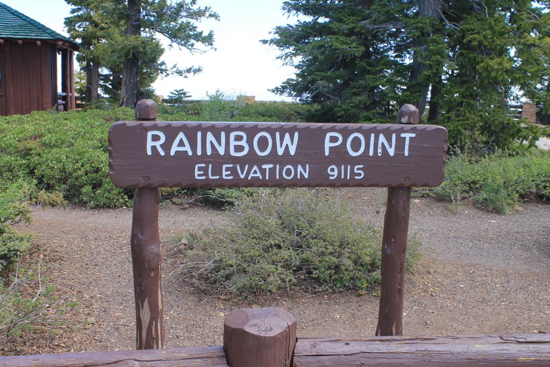
Natural Bridge 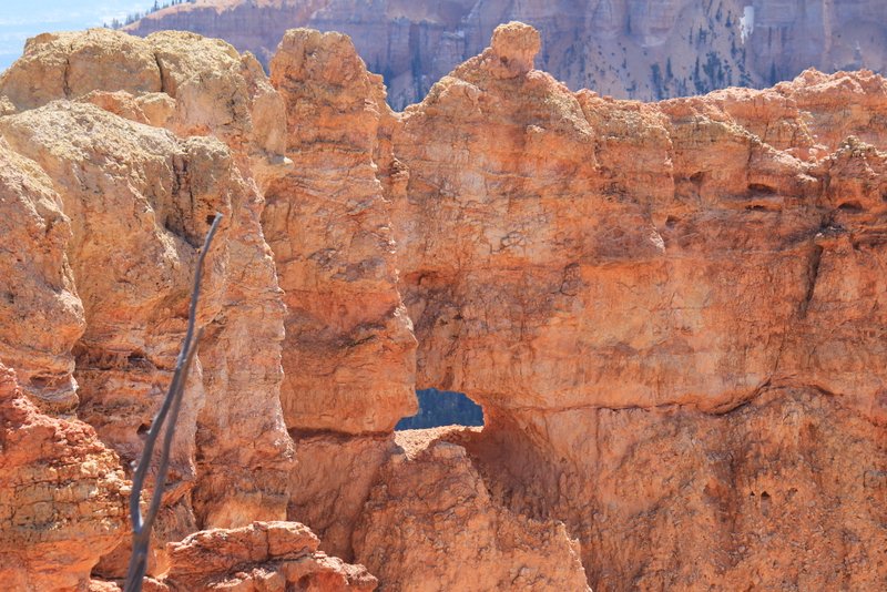
Arch in Bryce Canyon Bryce Canyon is located at high elevation.
I liked the look of the railings that lined many of the walks and was impressed with how many handicapped accessible areas there were (including some of the popular hiking trails).
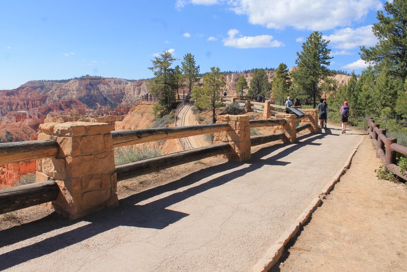
Rim Trail Between Sunrise Point and Sunset Point But the erosion continues and some of the nice looking railings will need to be moved back soon!
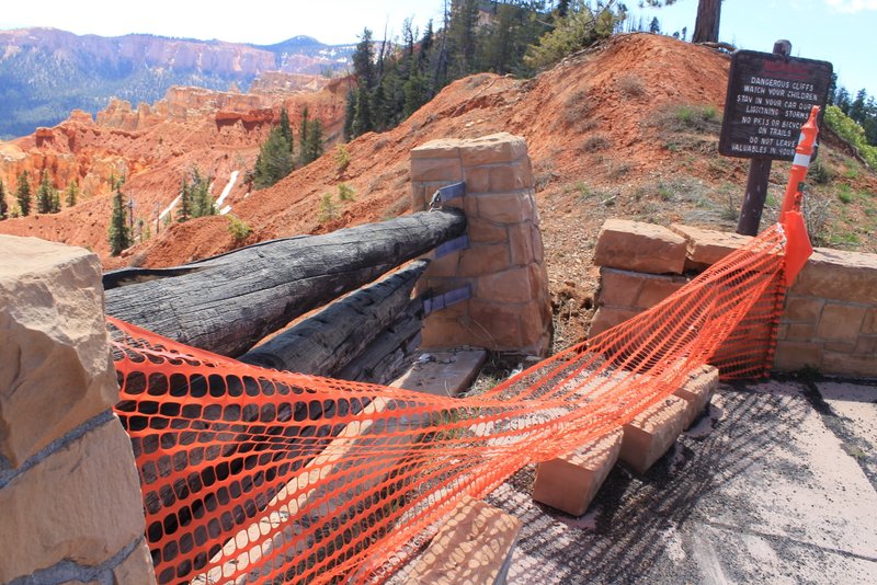
Falling into Bryce Canyon

