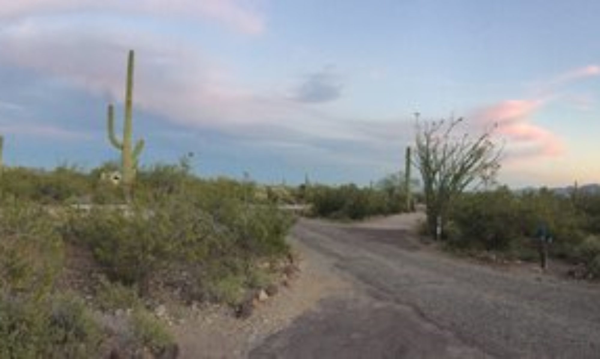
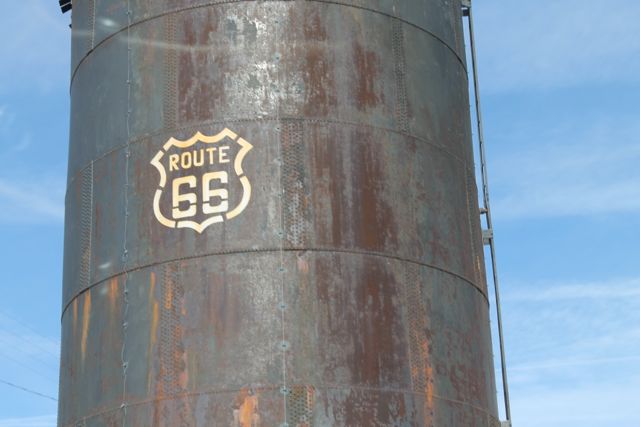
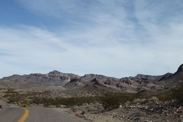
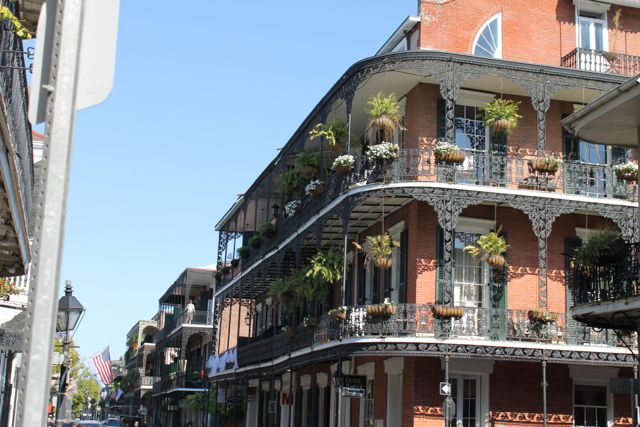
Sunday we decided to take a drive on old route 66. Route 66 was one of the original highways in the US highway system and covered over 2000 miles between Chicago, Illinois to Southern California. Most of the road fell into decline during the 1950s and 1960s as modern interstate highways were built. During the last few decades many sections have been revived and in some cases the old hotels, restaurants, billboards and neon signs have been restored. The section we drove on was only desert and hills.
Route 66Route 66
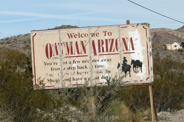
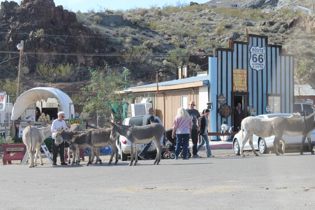
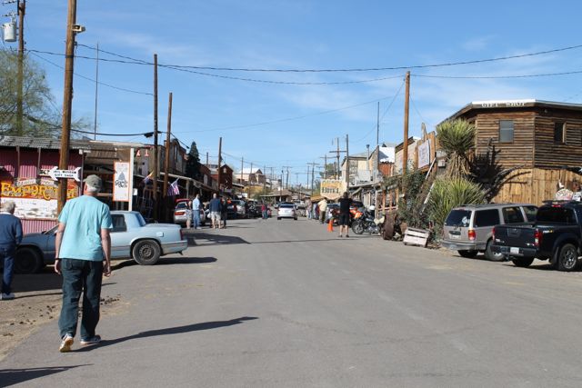
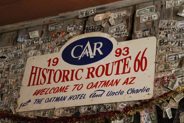
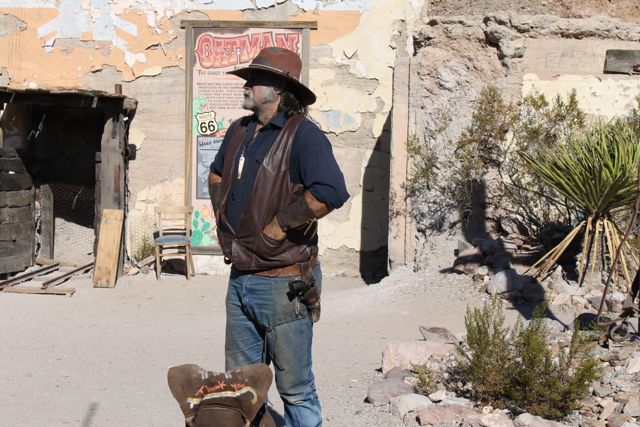
After an hour or so we were feeling a little disappointed but then arrived in a gem of a town, Oatman, AZ. Oatman was a mining camp during the gold rush in the early 1900s. Today it is an old western town with burros roaming the streets and gunfights staged daily. We roamed around the shops petted the burros and had lunch at the Oatman Hotel. The walls in the restaurant & bar at the Oatman Hotel are coved with dollar bills. Visitors autograph bills and staple them to the wall. The story is that this started in the gold mining days when a miner would put a dollar bill on the wall on payday and that would cover his tab until the next payday.
Oatman, AZBurros in Oatman, AZMain St, Oatman, AZDollar bills on the wall in Oatman HotelGun fighter in Oatman, AZ
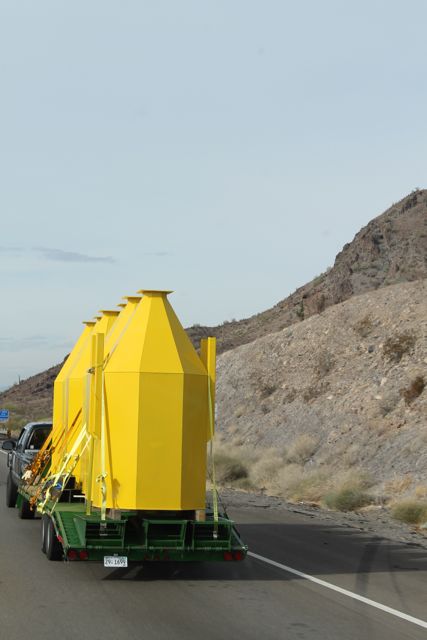
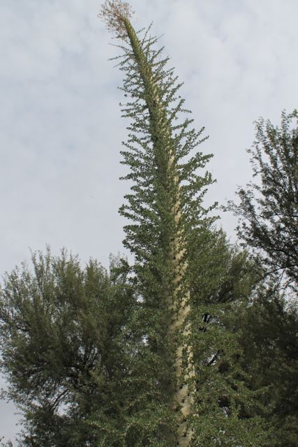
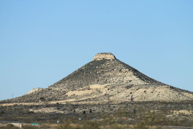
Traveled from Mesa, AZ to Lake Havasu City, AZ today. Saw this on along the way. Don’t know what they are but they look like yellow crayons to me.
Yellow Crayons?
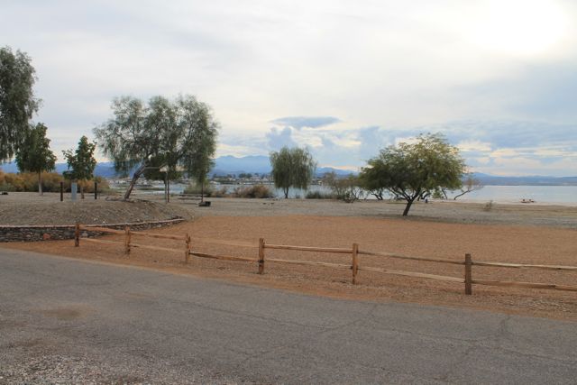
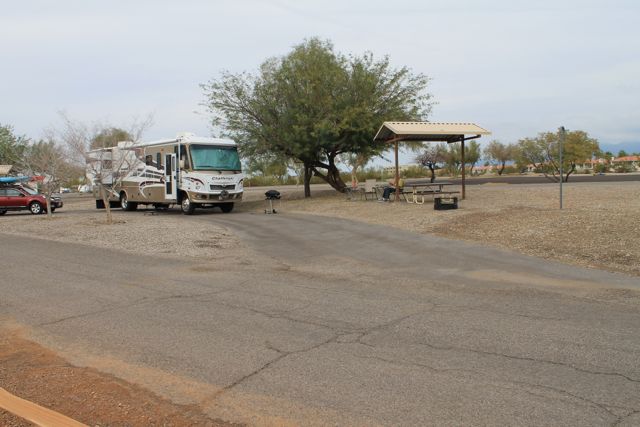
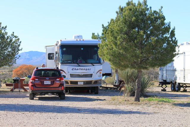
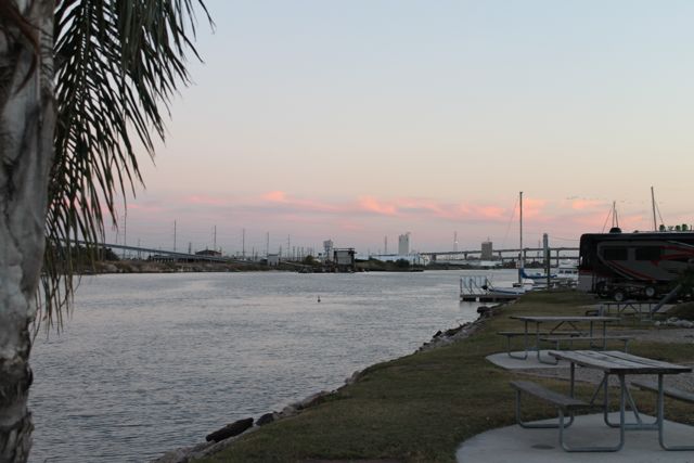
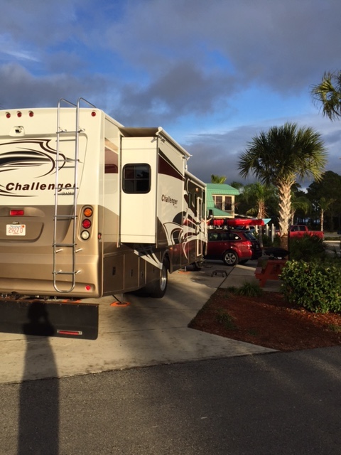
Arrived in Lake Havasu State Park. Lake Havasu is a part of the Colorado River. Best campground so far! Beautiful views, plenty of space. We’ll be here until Thursday.
View from our campsite on Lake Havasu
Our campsite on Lake Havasu
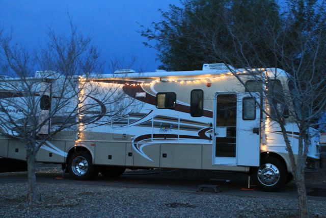
Added some Xmas to the motorhome
Interesting landmark in town is London Bridge – one of the original bridges that spanned the Thames River in London England. It was dismantled, shipped to Arizona, and re-constructed here in 1971. It is very close to our campground and we plan to see it tomorrow.
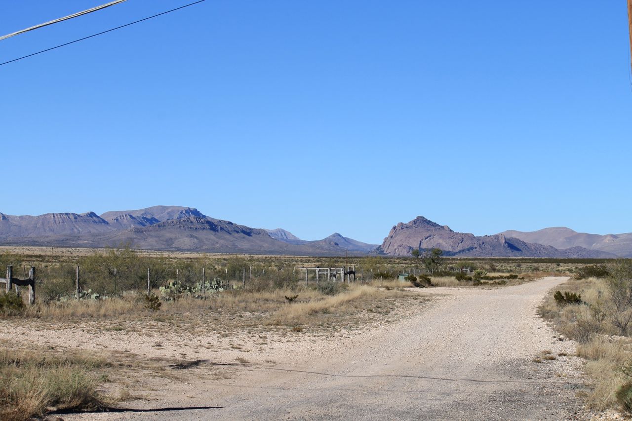
On the route from Willcox to Phoenix we passed nearby Cochise Stronghold. Cochise was chief of the ChiricahuaApache and the leader of an uprising that began in 1861. Before that he was friendly with white settlers. The trouble started when his tribe was wrongly accused of kidnapping a boy from a ranch. Cochise and some of his relatives were captured and held hostage by US soldiers. Cochise escaped but the others were hanged. For the next ten years Cochise and his followers were located at what is now known as Cochise Stronghold. They retaliated with a many raids on white settlements. We did not visit Cochise Stronghold so I have no photos but it caught my imagination and I wanted to write about it.
Mesa
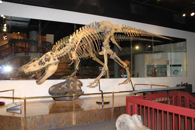
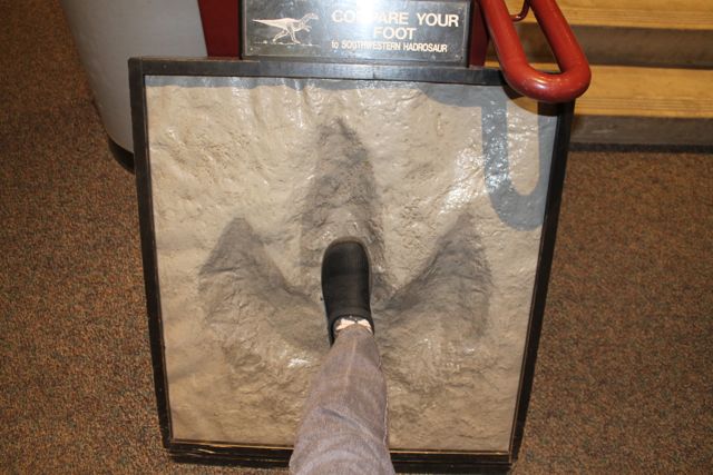
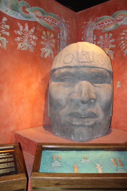
So now we are in Mesa, Arizona, a suburb of Phoenix. Yesterday we visited the Mesa Natural History Museum.
Dinosaur at Mesa Natural History MuseumBig Foot (Mesa Natural History Museum)Ancient Mexican Art (Mesa Natural History Museum)
Phoenix
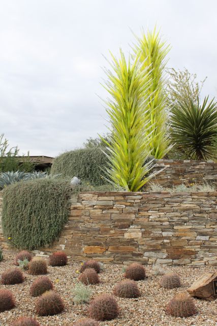
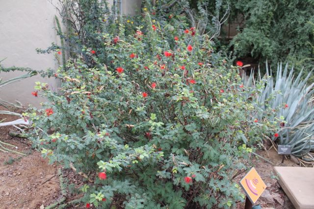
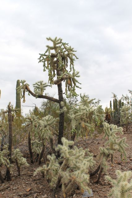
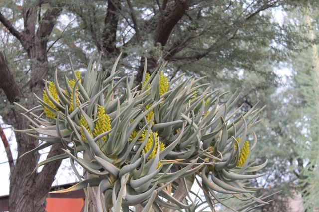
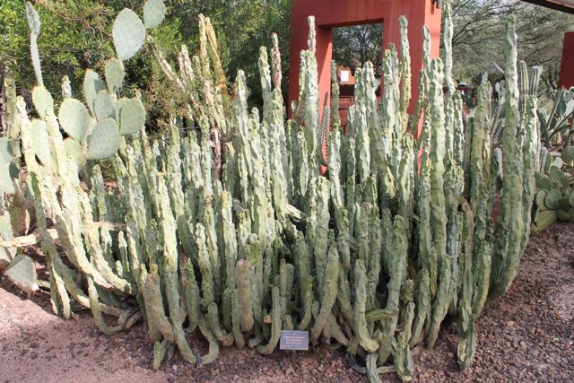
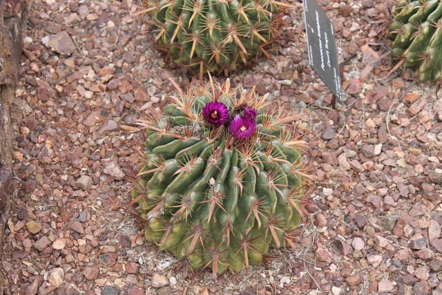
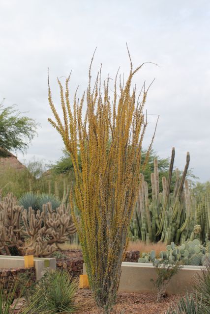
Today we visited the Desert Botanical Gardens in Phoenix. WOW!!
We left Marathon on Friday headed towards Deming, NM. The area around the campgrounds in Deming looked unsafe so we continued on to Willcox, AZ.
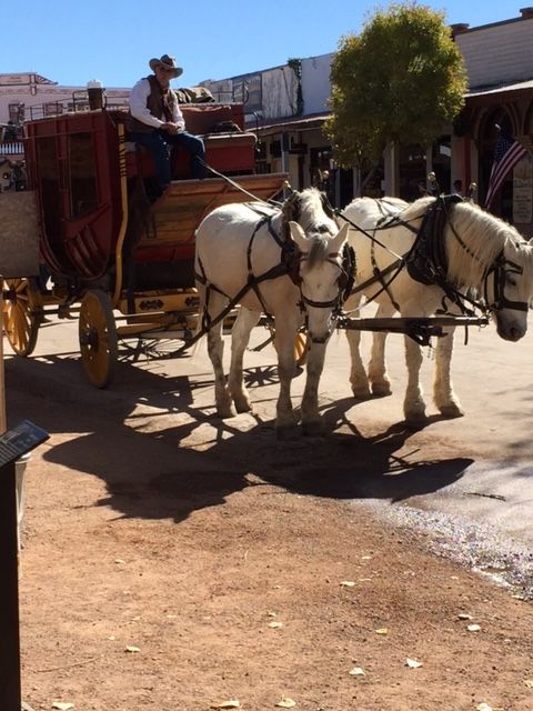
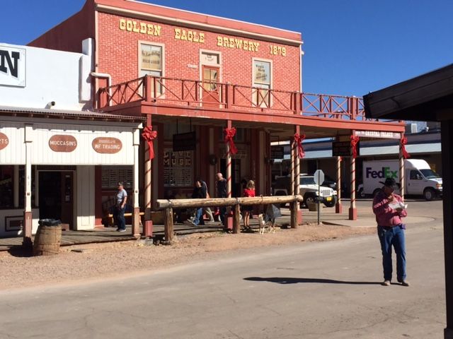
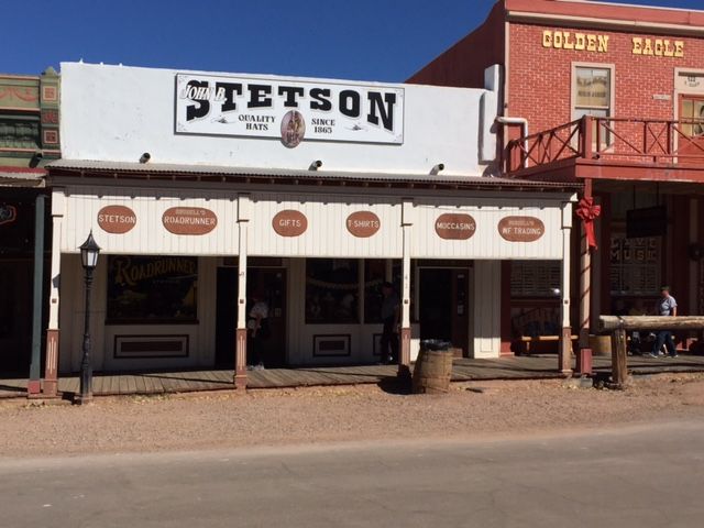
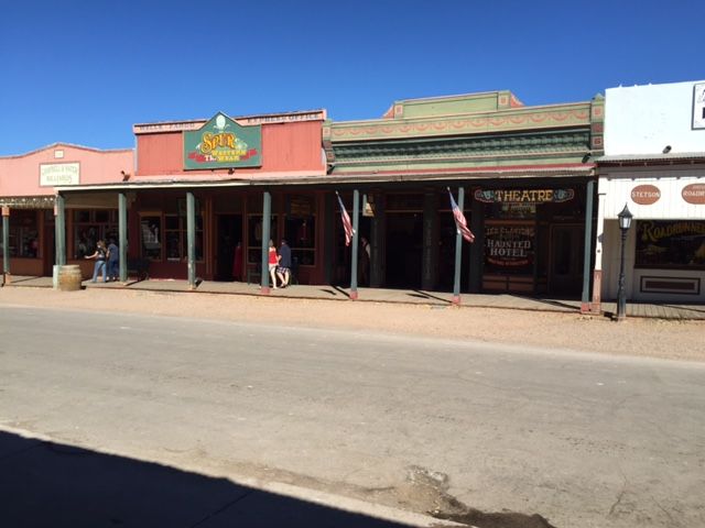
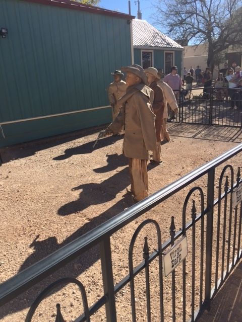
Yesterday we visited Tombstone. The location of the original town has been kept to look like it did in the 1800s along with people in period clothing, horses, and all the trimmings.
Stagecoach in Tombstone
Tombstone, AZ
Tombstone, AZ
Tombstone, AZ
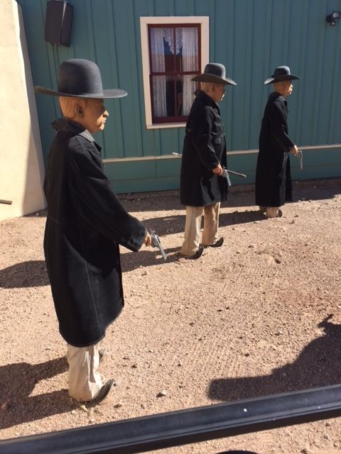
We also saw a re-enactment of the Gunfight at the OK corral. The pics below are not the re-enactment. These figures were placed in the location where the event actually took place.
Lawmen (the Earp brothers and Doc Holliday) at the OK Corral
Cowboys (Billy Clanton, Tom and Frank McLaury, and Billy Claiborne) at OK Corral.
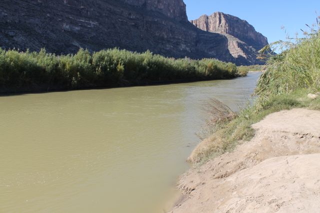
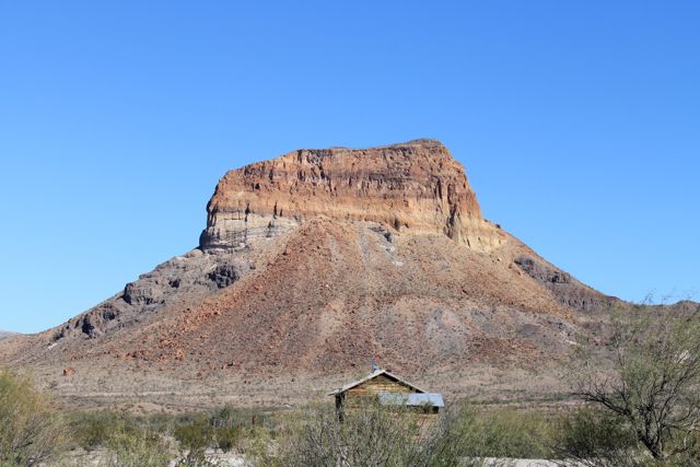
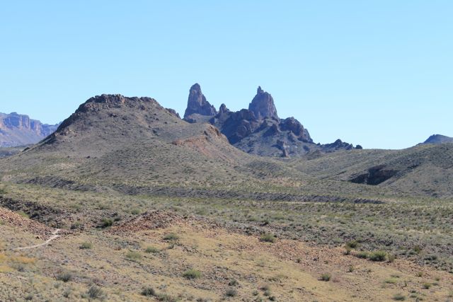
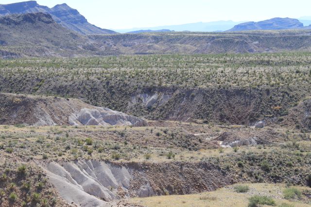
We visited Big Bend National Park yesterday. It is in southwestern Texas and borders on Mexico. It has mountains, desert, and the Rio Grande River. Lots of interesting scenery and sparse wildlife (we saw a roadrunner, a deer, and 2 coyotes). Big Bend is one of the least visited National Parks and we would probably not visit again. But was interesting to see it once.
So it’s been a few days since my last post. Let me catch you up.
The morning after our visit to the French Quarter the weather forecast included heavy winds, rain, hail, and possible tornados. Since our campground was near the edge of Lake Ponchartrain with the levee behind us we decided to ‘get out of dodge’.
An aside about levees: The levee along the industrial canal (one of the breeches in Katrina was in that levee) ran right along the street our campground was on. At first I did not realize what it was – just looked like a concrete wall about 8 ft high, not very thick, crumbling in a few places, with some graffiti on it. A large densely populated neighborhood was just on the other side. I don’t know much about levees and I don’t know if the design of this particular levee changed when it was rebuilt after Katrina but it did not look to me like it could hold back the Mississippi and Lake Ponchartrain. My comment to Bill: “No wonder it didn’t work”.
So, back to our travels. We left New Orleans on Saturday and headed for Texas. We really lucked out with the weather. We left NOLA, arrived in a campground in Beaumont TX, and set up before the rain started. The rain ended before morning. The stop in Beaumont was just one night at Hidden Lake Campground – OK for one night.
Hidden Lake Campground, Beaumont, TX
Sunday we headed on to Ingram, TX – in the ‘Texas Hill Country’. The drive the our campground was interesting, to say the least. The campground was about 10 miles away from the Highway (US 10) and the GPS took us on a ‘Ranch Road’, RR479. The Ranch Roads and ‘Farm to Market’ roads in Texas are secondary roads that allow access to rural areas. Needless to say RR479 was not the ideal road for a motor home towing a car. But there were some interesting sites and Bill handled it like champ.
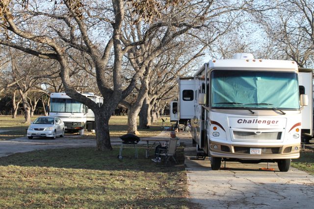
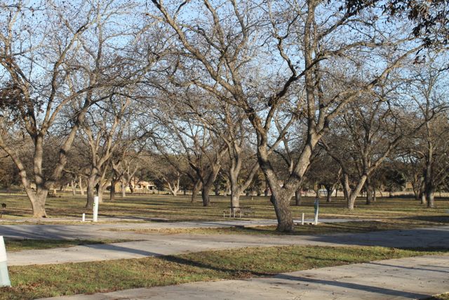
We arrived in one piece at Johnson Creek Campground. It is in a Pecan Orchard and Pecans are in season now. Pecans were dropping from the trees like acorns. You just pick them up and have a delicious snack (they were delicious).
Johnson Creek Campground, Ingram, TXPecan Orchard
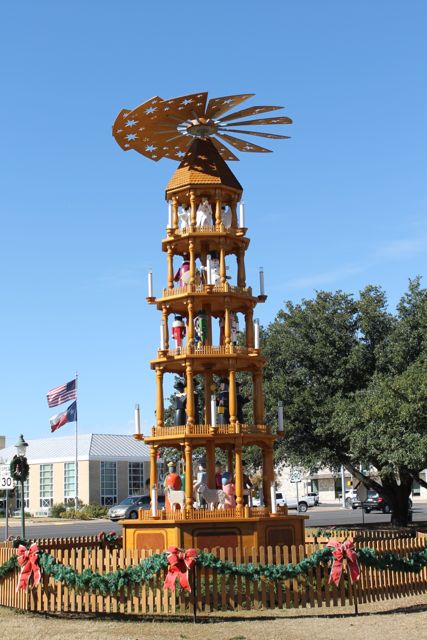
Yesterday we visited Fredericksburg. A touristy spot but interesting. It was founded by German immigrants in the mid 1800s and still has some German flavor to it. They were putting up Xmas decorations in the town park and one of the decorations was a 30 foot Christmas Pyramid (you know the little wooden christmas decorations that have a windmill at the top, and you light candles at the base to make it spin).
Christmas Pyramid in Fredericksburg, TX
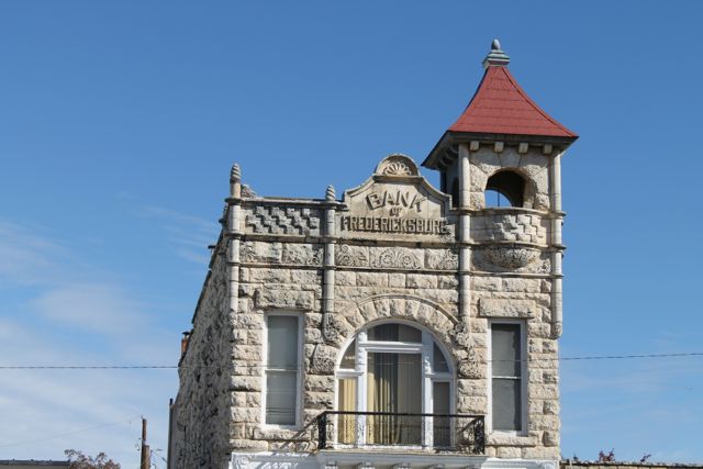
Old Bank Building, Fredericksburg, TX
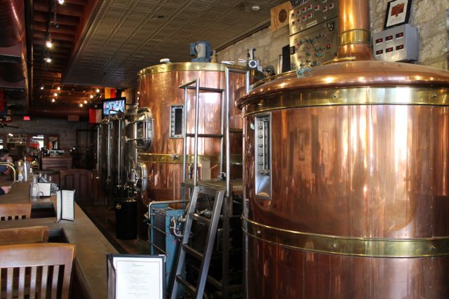
We had lunch at Fredericksburg Brewery. They apparently brew the beer on-site and the Enchanted Rock Red is excellent.
Fredericksburg Brewery
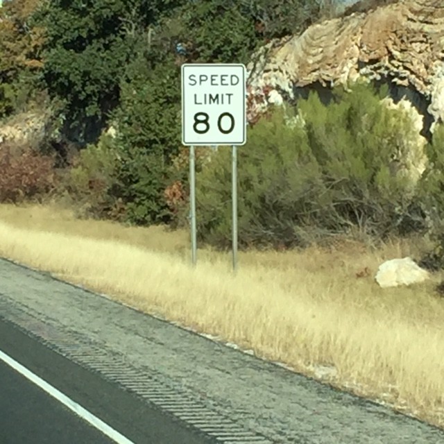
Departed from Ingram this morning and arrived in Marathon, TX (about an hour from Big Bend National Park). The drive was interesting.
Speed Limit on US 10Rock formation seen from US 10 in Texas
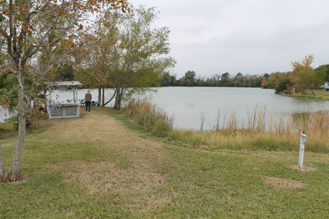
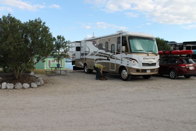
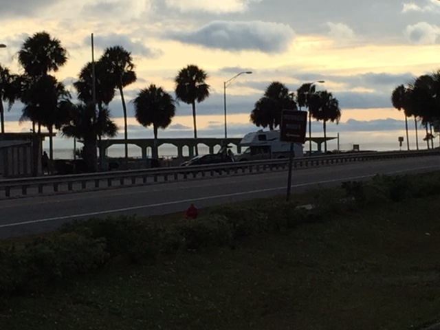
The landscape looks like an old western. We are staying at Marathon Hotel and RV Park (never would have picked this on our own but was recommended by a guy we met in Ingram). It is small and very nice. The view is great.
Campsite at Marathon RV ParkView from Marathon Campground
Took me the longest time to realize the acronym, NOLA, that I was seeing all over the place stands for “New Orleans, Louisiana”. Duh!!
So, we are in New Orleans. Staying at a very nice little campground/marina close to Lake Ponchartrain (on the outskirts of New Oreleans). It’s in a surprisingly industrial area of town on a canal. Our theory is that the land was available at a bargain price after Katrina. There are very obvious signs of Katrina in the immediate area even after 9 years.
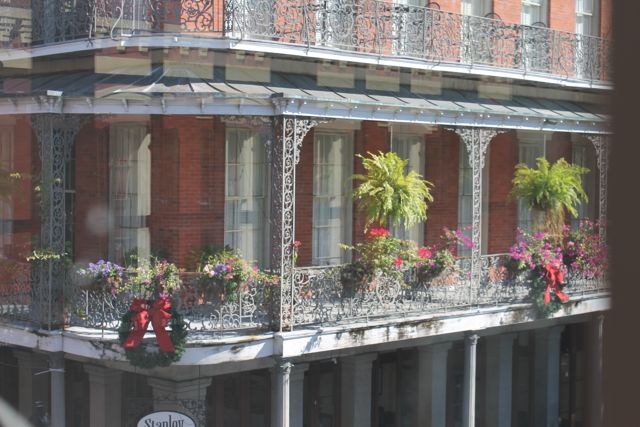
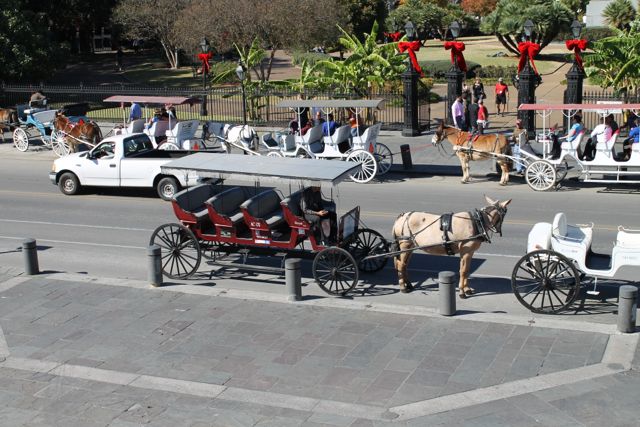
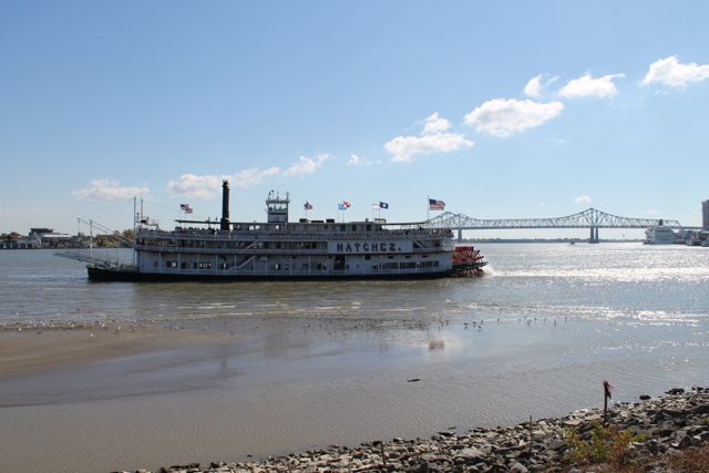
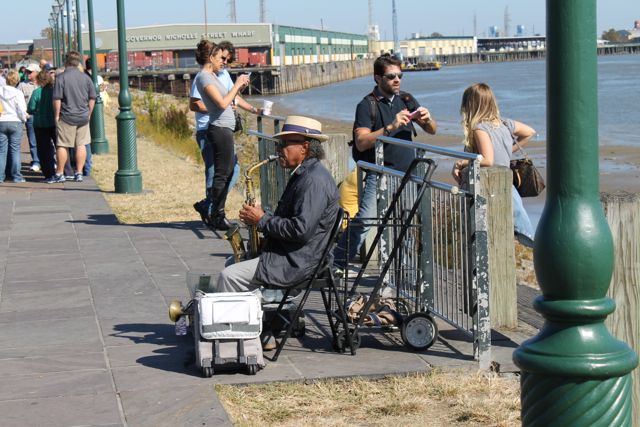
We visited the French Quarter today. Walked around, had some great traditional food for lunch at The Corner Oyster House, listened to street musicians, visited history museum, saw the Mississippi river. All that tourist stuff, had a great time.
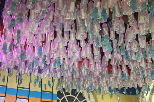
One of the museums had a great exhibit about Hurricane Katrina – very powerful. The picture below is the ceiling in the entrance of the museum and these words were on the sign near to it.
In creating this installation, Mitchell Gaudet wanted visitors to feel ‘as if one is moving up and out from being underwater.’ ‘I though about all the things floating in the water after the storm,’ he explains, ‘and all the people in need.’ The etched bottles allude to Hurricane Katrina’s death toll. The vessels protect messages, delivering them to a safe haven. Glass hands represent the countless, often unsung, individuals who rendered aid to the residents of the Gulf Coast. ‘Even during the storm and the trying times after,’ recalls Gaudet, ‘people still helped others.’
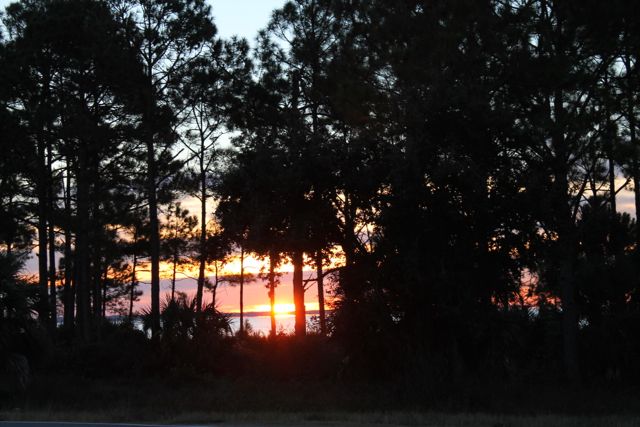
Woke to a beautiful sunrise and cold weather (in the low 30s). We just hung out in the camper until lunch. Figured out how to get the AppleTV connected to the campground wifi (a techie trick that will bore most of you, but I had fun). After lunch we got a few groceries and some very fresh shrimp and oysters (shrimp for dinner tonight and oysters in the freezer).
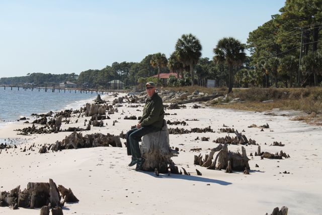
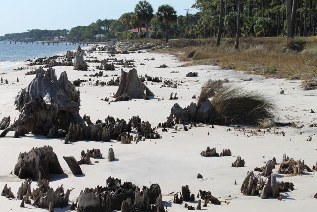
Long walk on the beach across the street from the campground. Some unusual tree stumps near the water line. Looks like they are battling some erosion here.
So we travelled over 1000 miles to the gulf coast of Florida and woke up to temps in the 30s (same as Plainville)!!! What’s up with that? Needless to say there was no swimming or lying on the beach today. Instead we got in the car and took a day trip west to Apalachicola, Eastpoint and St George Island. I guess this area gets busy in season but right we are pretty much all by ourselves and I love it.
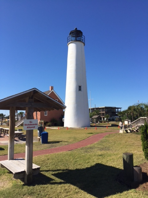
This is Cape St George Light.
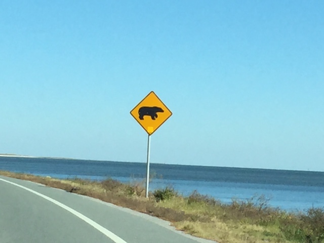
There are numerous signs like this in this area. We assume it is a picture of a bear (some of the signs have baby bears also). I guess the bears like to go to the beach!
Finally check out our new map (Red link at the top of the page).
So we have been on the road for 3 days now. Until this morning we were traveling a very familiar route. We drove down route 95 from Massachusetts to Florida (we did this many many times to visit Bill’s family in Fort Lauderdale for Xmas). But this morning shortly after we drove by Jacksonville, FL we headed West on route 10. Now I really feel like our journey has started
It was quite an experience on the road today. After we hit route 10 we became aware of Tornado watches in the area. We kept a close eye on the weather but did not pull over until the Windshield wiper broke when Bill put it on high speed! We pulled into a rest area and it was a good thing because the weather became really intense. Extremely heavy rain – we saw cars pulling over in the breakdown lane on the road. Heavy winds – the RV was swaying until Bill put down the stabilizer jacks – we saw a downed tree later as we were leaving the rest area. Thunder and lightening – a close hit sounded very loud. No tornado but quite exciting. Bill fixed the Windshield wiper quickly (he is amazing) and we were off again.
After the storm we headed to Carrabelle Beach on the Gulf Coast of Florida. The last 80 – 90 miles of the trip were lonely roads through forest and swamps. It was very pleasant.
I am working on a map that shows all the stops we’ve made but it still is not quite ready for prime time. Maybe tomorrow.