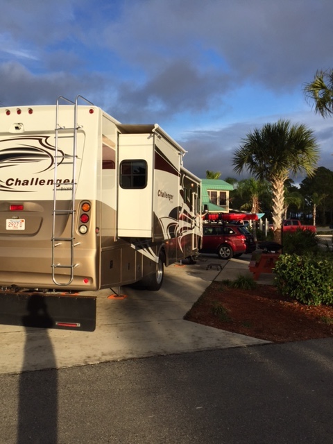
So we have been on the road for 3 days now. Until this morning we were traveling a very familiar route. We drove down route 95 from Massachusetts to Florida (we did this many many times to visit Bill’s family in Fort Lauderdale for Xmas). But this morning shortly after we drove by Jacksonville, FL we headed West on route 10. Now I really feel like our journey has started
It was quite an experience on the road today. After we hit route 10 we became aware of Tornado watches in the area. We kept a close eye on the weather but did not pull over until the Windshield wiper broke when Bill put it on high speed! We pulled into a rest area and it was a good thing because the weather became really intense. Extremely heavy rain – we saw cars pulling over in the breakdown lane on the road. Heavy winds – the RV was swaying until Bill put down the stabilizer jacks – we saw a downed tree later as we were leaving the rest area. Thunder and lightening – a close hit sounded very loud. No tornado but quite exciting. Bill fixed the Windshield wiper quickly (he is amazing) and we were off again.
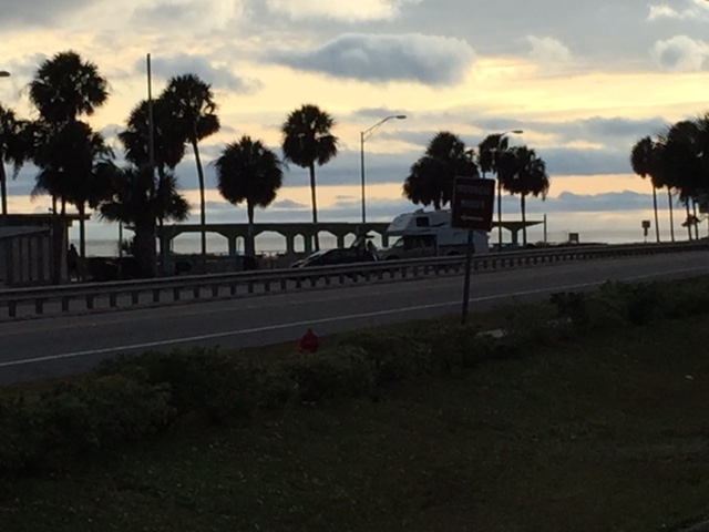
After the storm we headed to Carrabelle Beach on the Gulf Coast of Florida. The last 80 – 90 miles of the trip were lonely roads through forest and swamps. It was very pleasant.
I am working on a map that shows all the stops we’ve made but it still is not quite ready for prime time. Maybe tomorrow.


What are you using for the map? Google’s My Maps is a good platform to share locations and a little bit of info about each location.
I am using a WordPress plugin named Nomad World Map. It works great except it show Europe when you first bring it up even though all my stops are in USA. Have a look (MAP).
Maybe I’ll give My Maps a try.